|
HISTORY OF THE LAKE ALMANOR WEST COMMUNITY
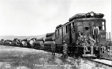
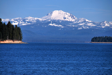
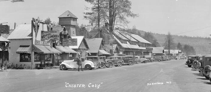
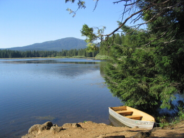
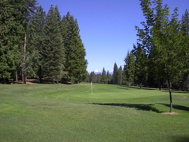
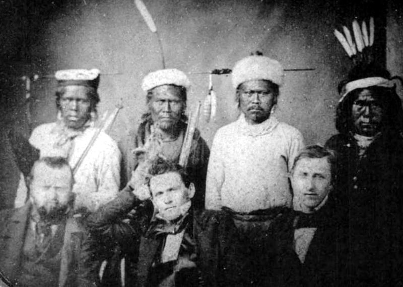
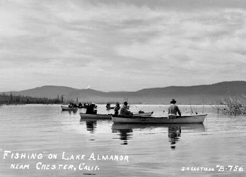
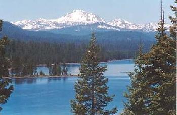
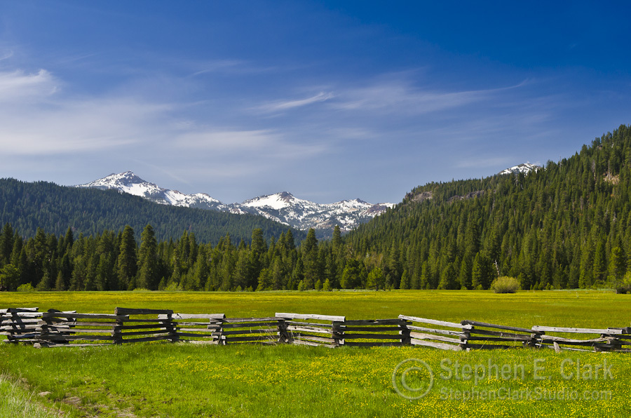
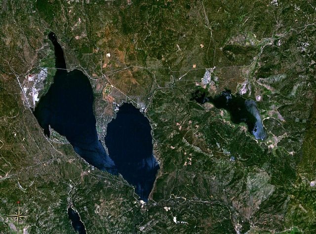
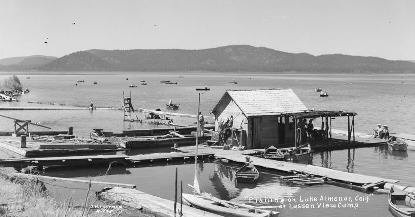
Lake Almanor West is a relatively recent development in the Lake Almanor Basin. The Red River Lumber Company, located in Westwood, owned much of the land in the Basin. Our local area was logged extensively in the late 1920’s with most of the usable timber removed at this time. The lands that now include Lake Almanor Country Club and Lake Almanor West were purchased about 1950 by Edward A. Clifford for a price that averaged $64.00 per acre. Clifford was unaware that Lake Almanor West was included in the purchase. The development of the 1100 acre LACC site began in 1953. Lake Almanor West is 615 acres with about 2.5 miles of shoreline. The initial lot sales began in 1974 with 650 lots for sale. We now have 695 lots. The developer said “The prime objective of the project is to help satisfy recreational second home housing demands for low to medium density, moderately expensive living units, with a minimum of maintenance responsibilities.” He proposed that 56% of the land (344 acres) be used for residential lots, 10% of the land (61.5 acres) used for roads and the remaining 34% of the land would be for common areas, such as golf course, tennis courts, recreational area and open space. In the original plan the Top of the West area was to be open space, but later it was changed to a multi-unit development, and still later was changed to single family residential units. Originally the golf course was basically a greenbelt. In 1977 the preparation for a 9 hole course began and took several years to complete. The Clubhouse was added in 1980 and the course officially opened in 1981. The boat ramp was to have been in the 11 acre parcel at the front of LAW and would have led down to Goose Bay. As a condition of approval of the subdivision, the parcel was deeded to Plumas County to be developed as a County Park with a boat ramp. With the passage of Proposition 13 the County soon realized that it couldn’t develop and maintain the park, so the County deeded the parcel back to the developer as a greenbelt. ANCIENT HISTORY – BEFORE THERE WAS A LAKE ALMANOR - This area was inhabited for many thousands of years by Native Americans. Locally, the Maidu occupied what became known as Big Meadows and lived in two main settlements. One was on the west shore a bit north of what later became Prattville and the other was at Big Springs on the east shore. The Maidu used fire to regularly clear away the forest understory, maintaining an open forest setting which improved their hunting access while reducing ambush opportunities for their enemies. The Maidu all but disappeared from Plumas County after white settlers and miners began to arrive. This was due to both persecution and lack of resistance to white man diseases. The California Gold Rush brought miners to the areas immediately south of the Lake Almanor basin. Locally, early cattlemen and dairymen took advantage of the meadow lands for grazing. In the late 1840s the Lassen Trail passed directly through Big Meadows on its way to Soldier Meadows and points west, ending at Vina. Two other routes, the Humbug Road and Humboldt Road, connected the basin with Oroville and Chico. Beef and dairy products were transported to the Sacramento Valley and supplies were brought back to the local valleys. It was estimated that as many as 10,000 head of cattle grazed the meadow in the summer of 1857. In 1867 Dr. Willard Pratt built a hotel at Prattville and it became a renowned resort community. Other resort hotels included the Bunnell House and the Butterfield House near Bunnell Point and the Olsen House in Chester. In the early 1880’s there were as many as 2,000 tourists annually visiting the meadows and by the turn of the century this number was doubled. Reservations had to be made a year in advance to assure accommodations. Once the problems with electric power transmissions had been solved a great interest in hydro-electric power developed. In 1901 Julius Howells, a civil engineer, saw the area and thought a storage reservoir could be built on the North Fork of the Feather River. He talked with the Earl brothers of San Francisco and they became interested. They formed the Western Power Company to build the dam and hydro-electric facilities. Guy C. Earl, President of Western Power, named the lake in honor of his daughters, Alice, Martha, and Eleanor. In 1910 construction on the dam began and was completed in 1914. The lake was less than a fifth of its current capacity. There were two dam expansions that brought the lake up to its present dimensions. Western Power merged into Great Western Power Company and was sold to the North American Company. In 1930 Pacific Gas and Electric Company bought the Great Western holdings and is now the current owner and operator of the lake. Massive timber harvesting was necessary to clear the lake area and was done by the Red River Lumber Company. The logs were hauled to their mill in Westwood, which closed in the 1950s. Collins Pine built their Chester mill in the early 1940s. Collins and Sierra Pacific Industries are now the main forest products firms in the area. GEOLOGY OF THE AREA Lake Almanor lays almost directly on the east-west boundary between the Cascade and Sierra Nevada mountain ranges. The basin itself trends from northwest to southeast with Mt. Lassen towering above the landscape to the north. The Cascades have isolated volcanic cones which rise far above the surrounding tableland with extensive lava flows in the past. In contrast, the Sierras have a steep east side escarpment and more gentle declining western slope due to the massive upward tilt from east to west in past geologic times. Lake Almanor Basin general geology is predominantly volcanic in nature although there are distinctly Sierra outcroppings in some parts of the extreme southern end. Geologically speaking, the area is one of active volcanism and many of the rock formations on the shores of Lake Almanor are quite young. Seismic activity is still being reported in the region, particularly in the Mt. Lassen area. Although there are several mapped faults in the Basin, there are no active fault traces located in LAW. During the last glacial period the basin was probably subject to periodic inundation from meltwaters and lake deposits were formed. The town of Chester, about 4 miles north of LAW, is situated on such lake deposits. LAW, however, is not on lake deposits and is on surface outcrops which are made entirely of volcanic material. Rock is exposed in several locations. The majority of LAW is covered by a red-brown silty sand—the weathered product of andesite lava flows. A small mud flow deposit is located in the south-central portion of LAW. A fine sandy silt is the weathered product of this rock, and it is rare to find hard rock outcrops in this area. The soils in LAW have been classified as Cohasset stony loam. The soils are usually brown to reddish-brown in color, are somewhat stony throughout and drainage and permeability are generally quite good. BIBLIOGRAPHY Environmental Impact Statement, Edward A. Clifford Properties, Applied Science and Resource Planning, Inc., Sacramento, CA, Feb. 3, 1973 Water Quality Analysis, Edward A. Clifford Properties, Applied Science and Resource Planning, Inc., Sacramento, CA, November 17, 1972 Lake Almanor West Environmental Handbook, Developers: William H. Finkbeiner, Edward C. Clifford and Gordon L. Soltau, available about 1974. |
